
2020
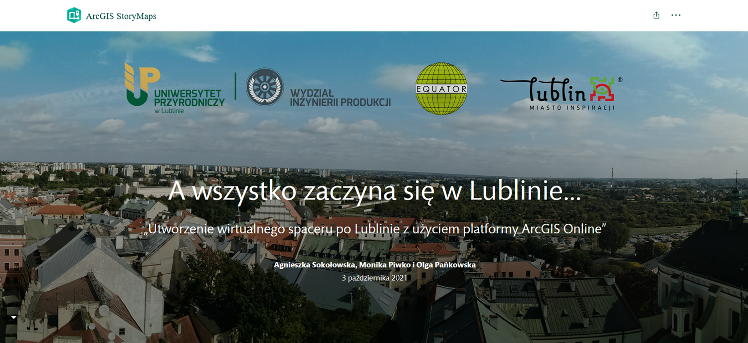
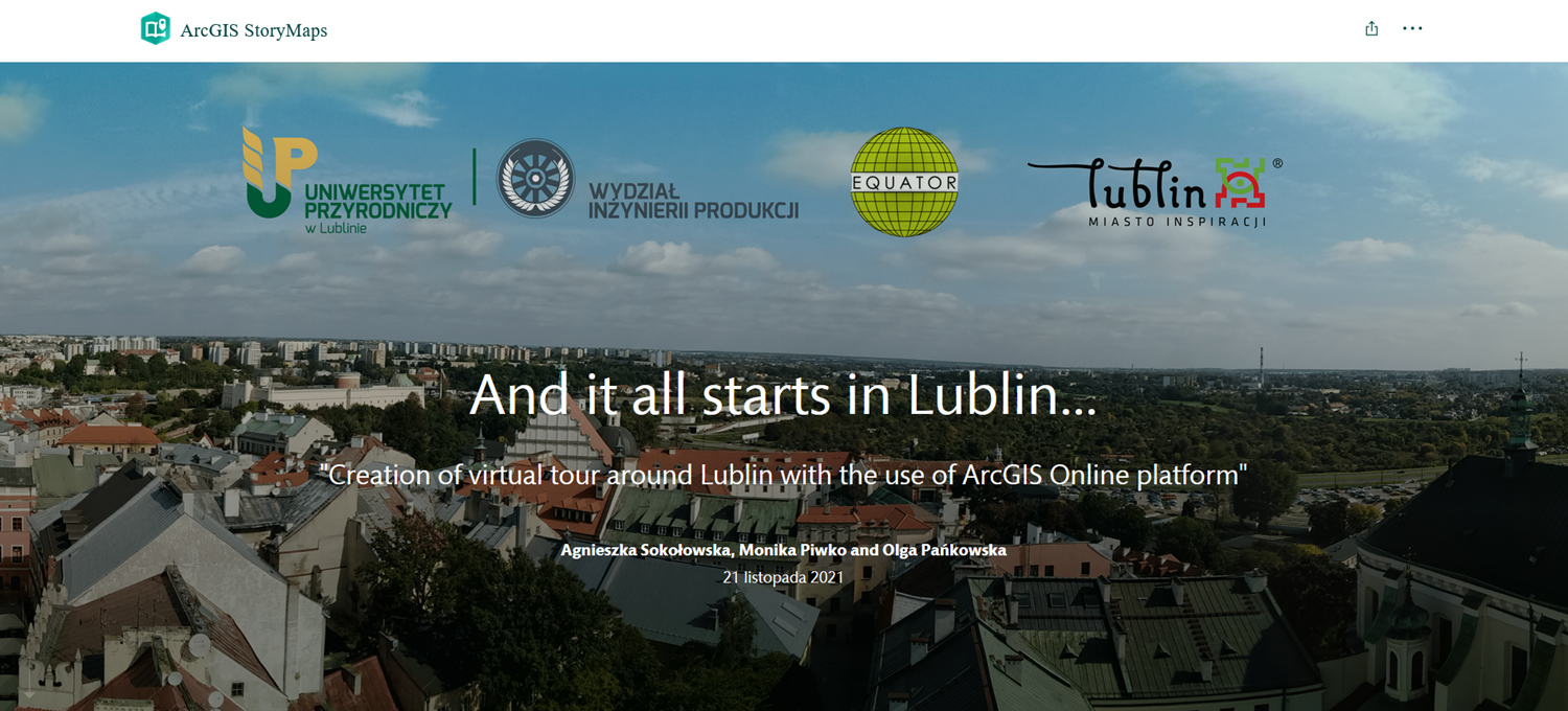
“Creation of virtual tour around Lublin with the use of ArcGIS Online platform” is a project carried out by students from the Geodetic Scientific Association ,,Equator”, which operates at the Faculty of Production Engineering at the University of Life Sciences in Lublin (ULSL). The project, co-financed by the Lublin Municipality and ULSL, was realized as part of the framework ” Support of Academic Initiatives” (agreement no. 70 / WSP / 21), announced by the President of Lublin.

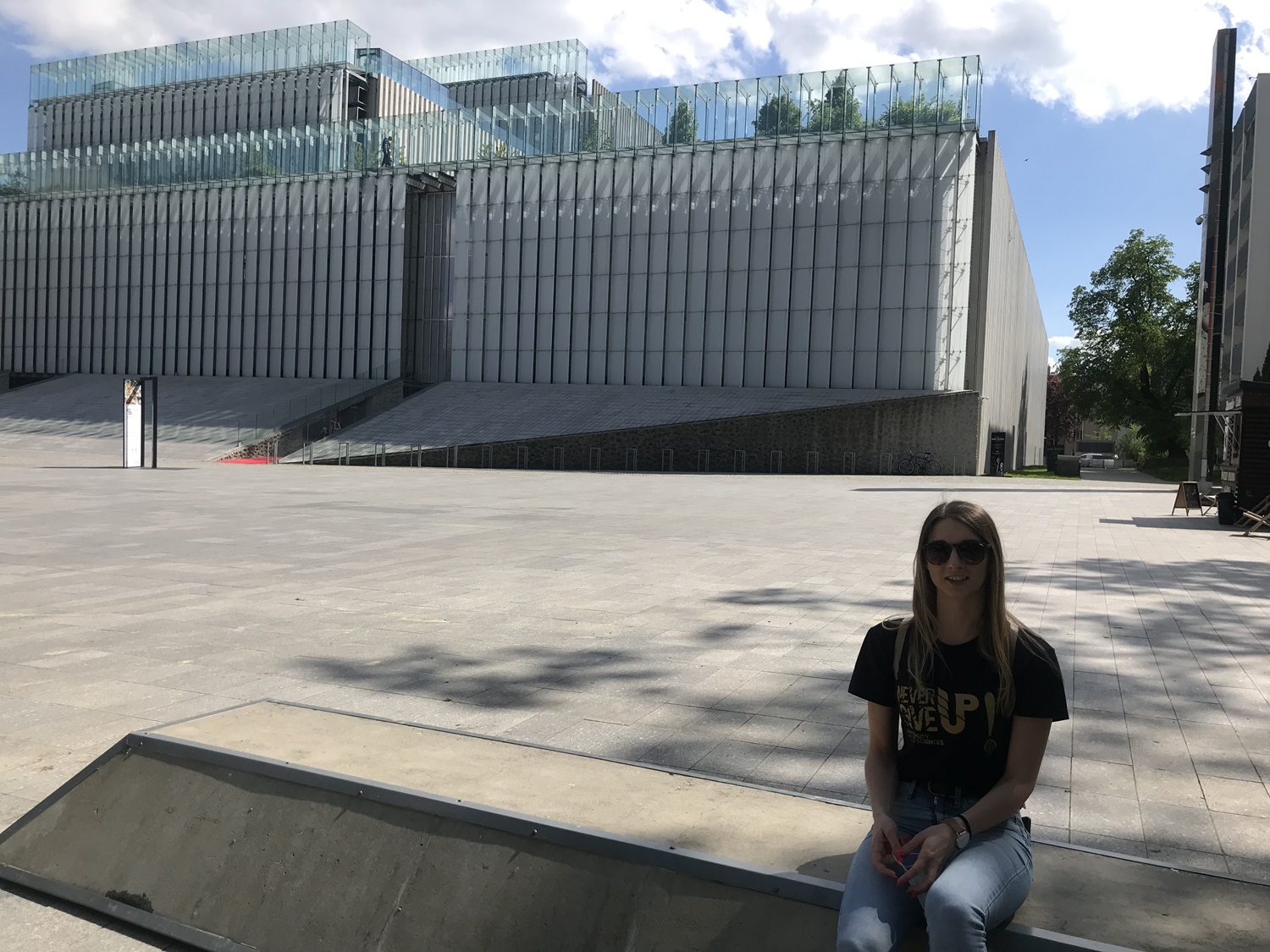
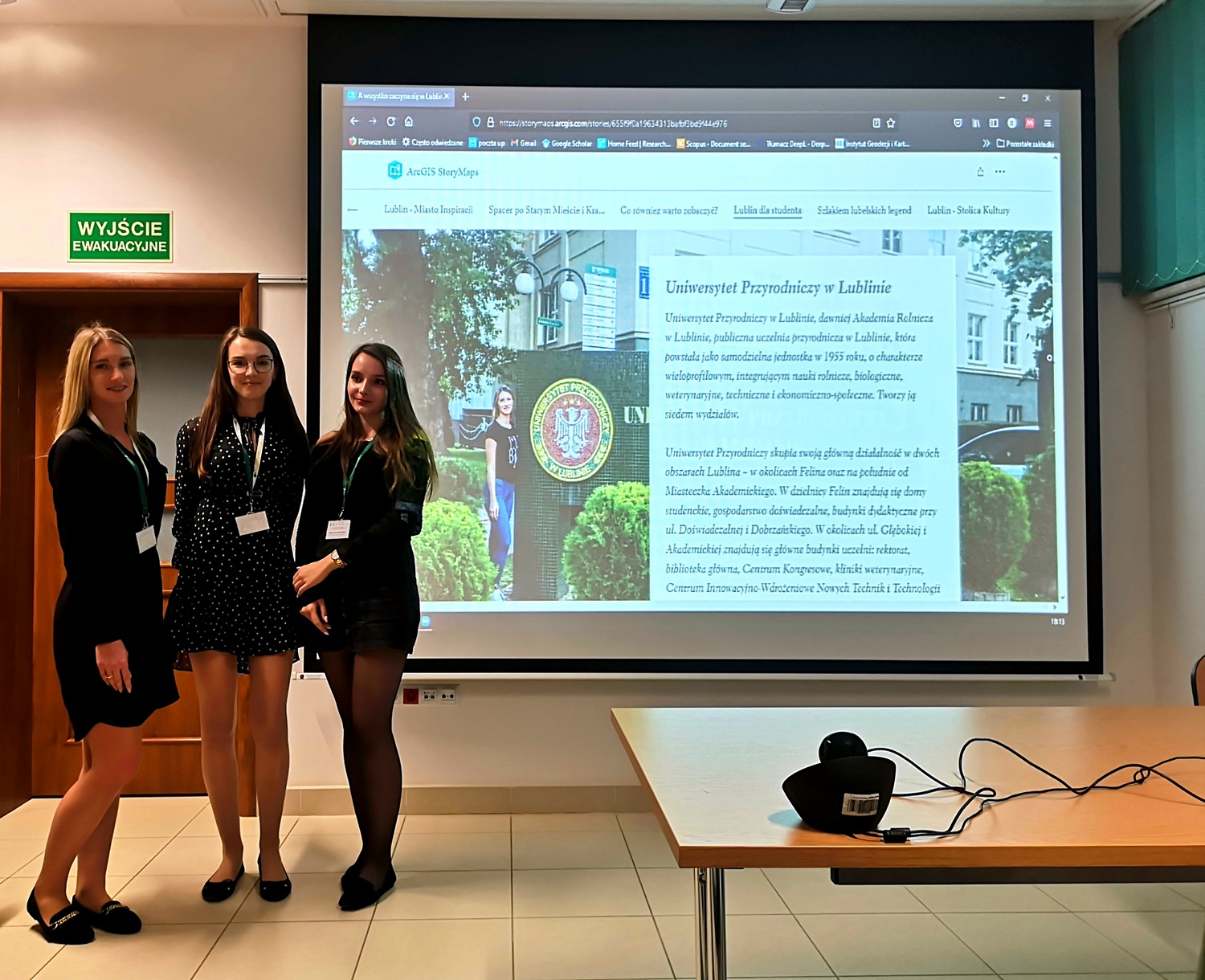
The project presents an alternative to traditional maps – virtual maps developed with the use of ArcGIS and its application – StoryMaps. The result of the work is a virtual tour around attractive tourist sites, cultural events and sports centers in Lublin. The broad perspectives created by the City of Lublin, also known as the City of Inspiration, have been shown – a large selection of universities, institutions and organizations supporting the development of young people, as well as numerous cultural and sports events.
The project, addressed mainly to young people (students and potential students) – can also be used by other people, e.g. Lublin residents or tourists.
To meet the expectations of potential users of the virtual tour, the narration is available in two language versions – Polish and English.
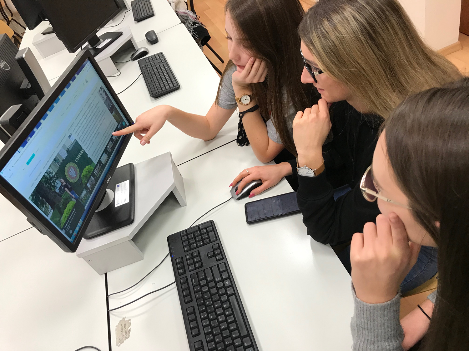
To create StoryMaps, publicly available data posted on websites, free templates and map foundations in the StoryMaps application, original photos and materials provided by some institutions, such as the Grodzka Gate – “NN Theater”, were used. Access to the virtual tour around Lublin is open, all you need is a web browser.
A virtual tour is certainly an innovative form of visiting Lublin. It can encourage you to visit the city, live in it, or choose Lublin as a place to study. Various forms of presentation and colorful descriptions of numerous and attractive places, facilities and events give a broader view of Lublin as an extremely attractive place. Thanks to the development of a virtual tour around Lublin, the potential of the city can now reach a larger and diverse group of recipients.
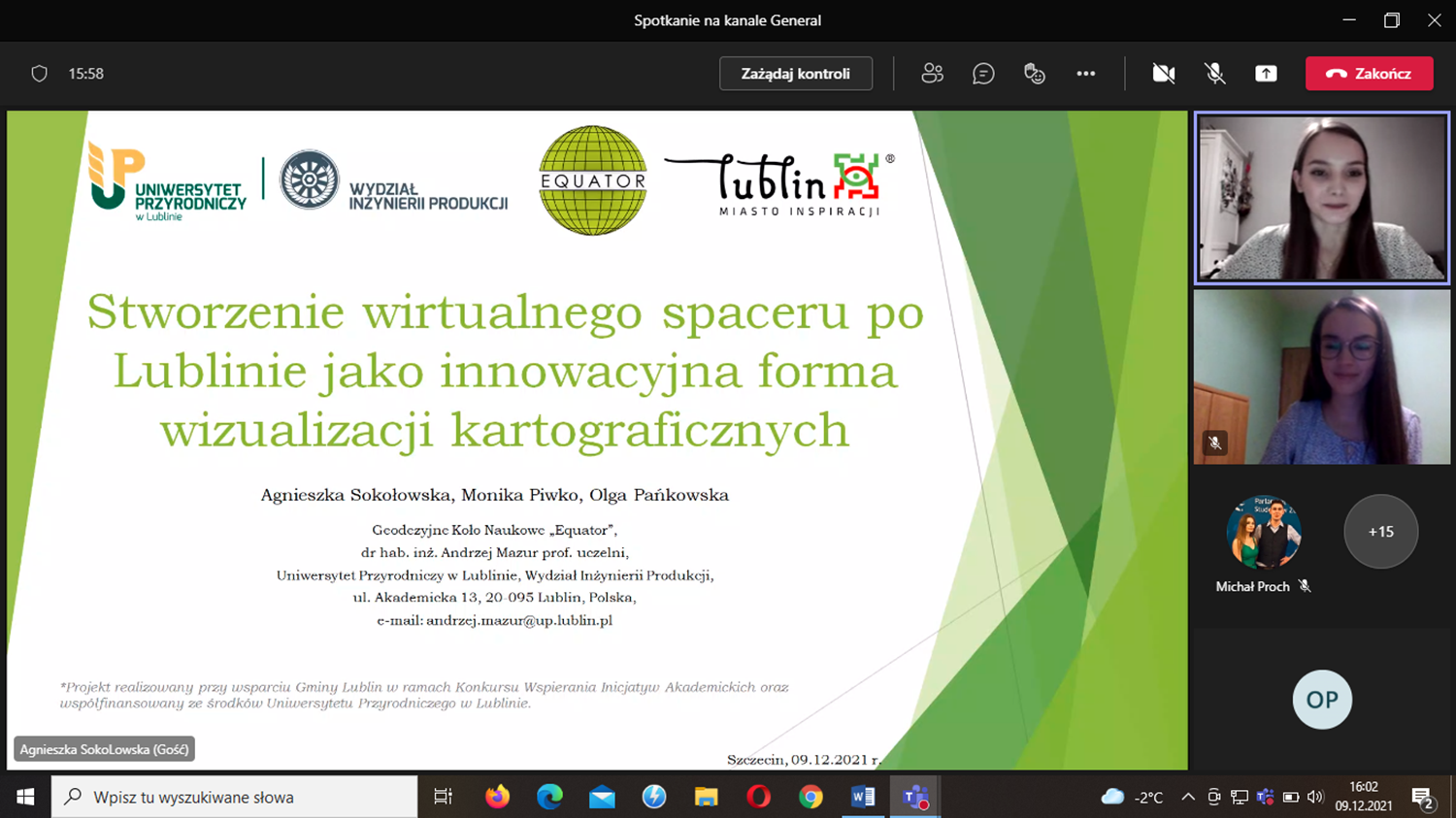
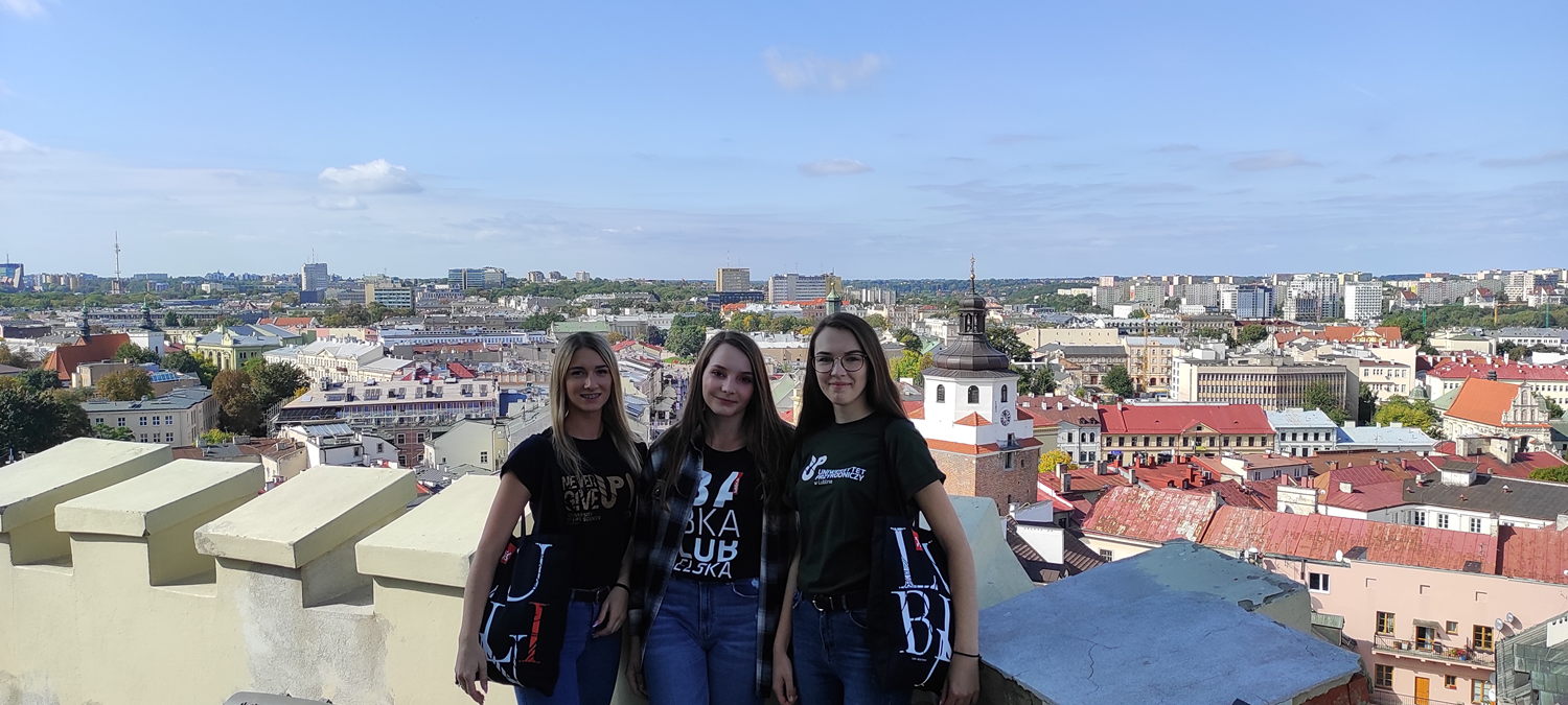
The project was carried out by students of geodesy and cartography – members of the Geodetic Scientific Association ,,Equator”: Agnieszka Sokołowska, Monika Piwko and Olga Pańkowska, under the supervision of Assoc. Prof. Andrzej Mazur, PhD, MSc. Barbara Kępowicz and MSc. Patrycja Pochwatka.
English translation of the StoryMaps tour was provided by the European Social Fund under the Operational Programme Knowledge Education Development, non-competitive project entitled ,,Improving the competences of academic staff and the potential of institutions in welcoming people from abroad – Welcome to Poland”, implemented under the activity specified in the application for project funding no. POWR.03.03.00-00-PN14/18.
13 Akademicka Street, 20-950 Lublin
VATIN 712 010 37 75
REGON no. 000001896
ePUAP: /UP-Lublin/SkrytkaESP