
2020
![]()
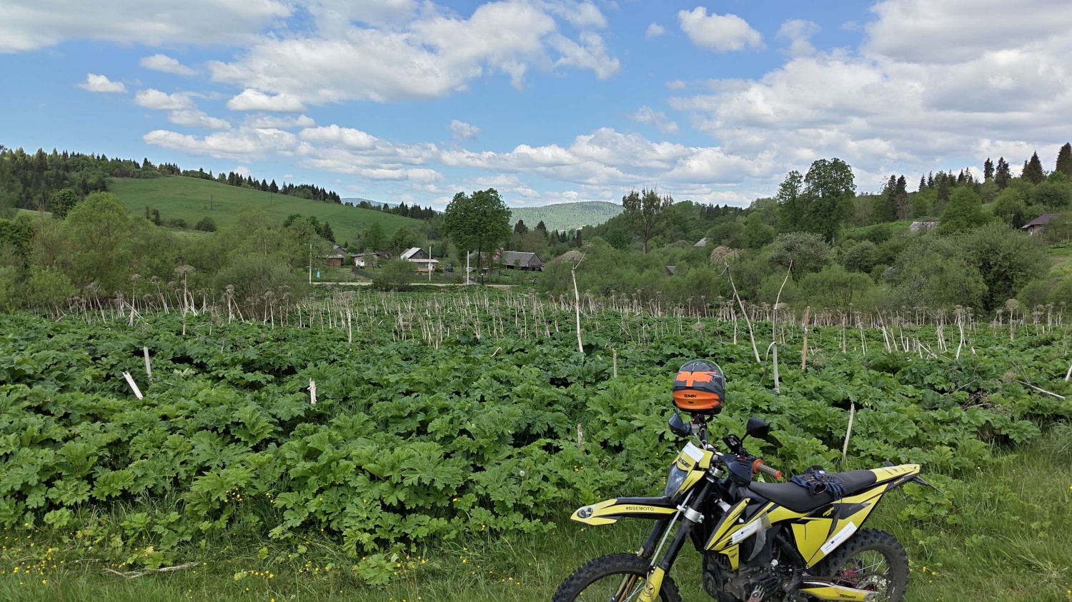
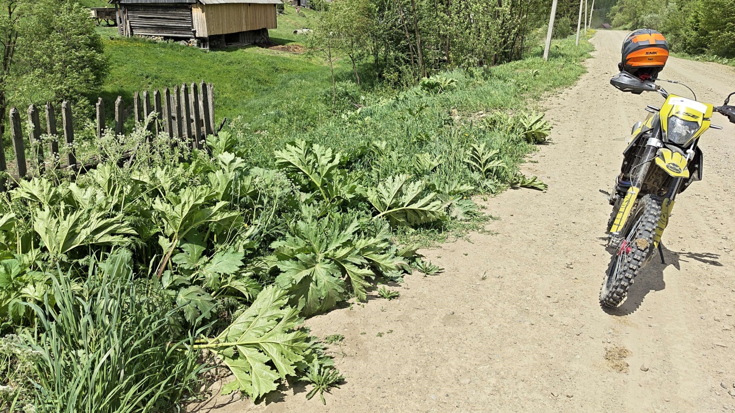
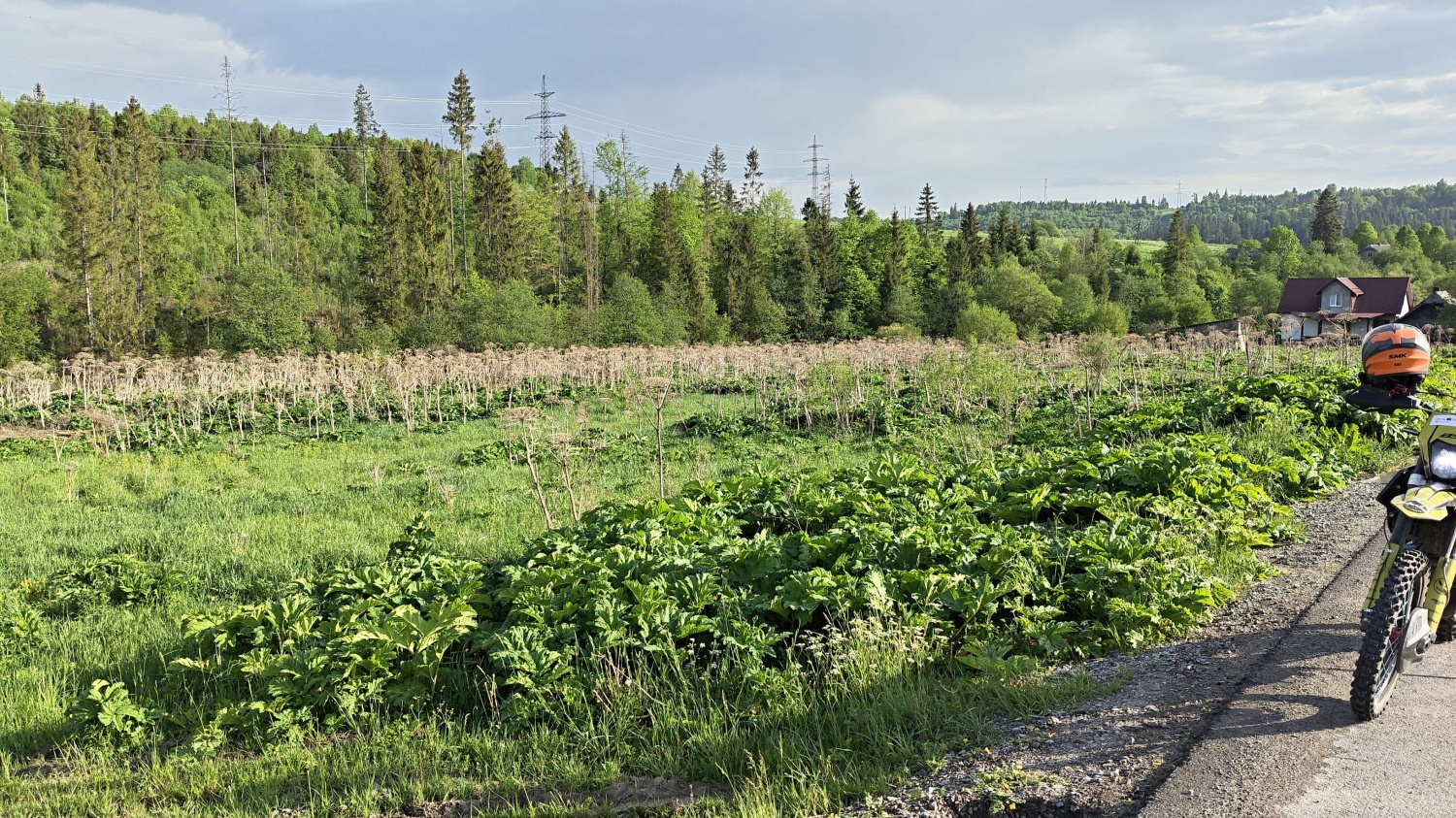
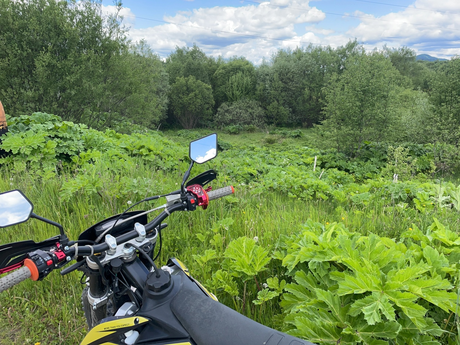
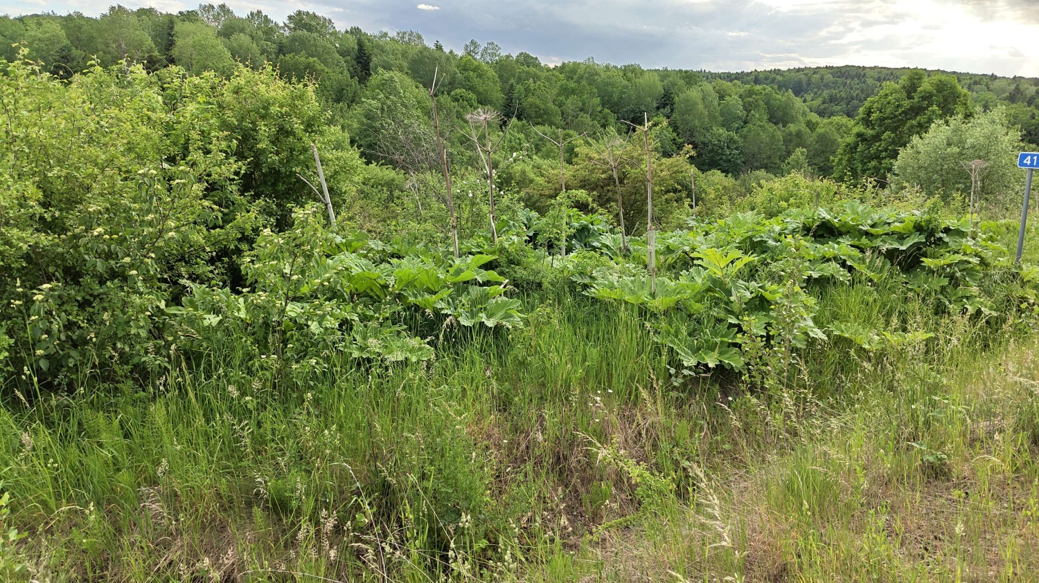
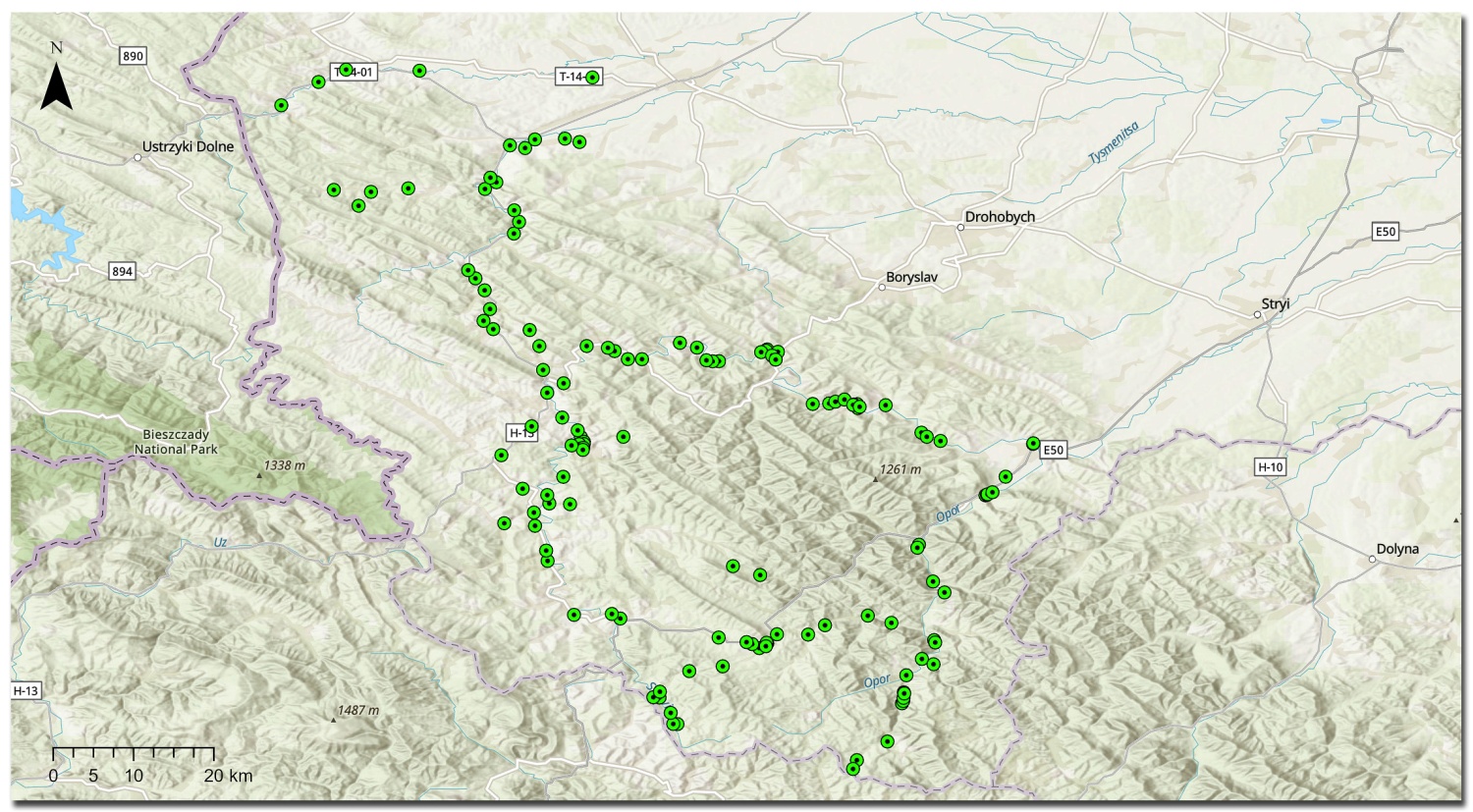
In May 2026, a field campaign to collect reference data on the location of Sosnowsky’s hogweed sites began, as part of the ZERO HERACLEUM project. Fieldwork is a key step in developing modern methods for automatic detection and monitoring of this invasive species. Our surveyors traverse designated research areas along both main roads and difficult-to-access off-road trails. They use off-road motorcycles and a specialized WebGIS application to continuously record and verify the locations of Sosnowsky’s hogweed sites.
The collected information creates a high-quality reference database essential for further analysis. The acquired field data will be used in machine learning process and in the development of artificial intelligence algorithms. The goal of this work is to create tools that will enable the automatic detection of Sosnowsky’s hogweed sites based on satellite data and imagery. This will enable faster and more effective monitoring of the spread of this dangerous species across large areas in the future.
The inventory campaign will last until the end of August 2026. The work area covers a total of 16 municipalities located within the project’s support area – 9 municipalities in Ukraine and 7 municipalities in eastern Poland. We are already eagerly awaiting the first mapping results and the impact of work on artificial intelligence models, which will contribute to more effective identification and containment of Sosnowsky’s hogweed.
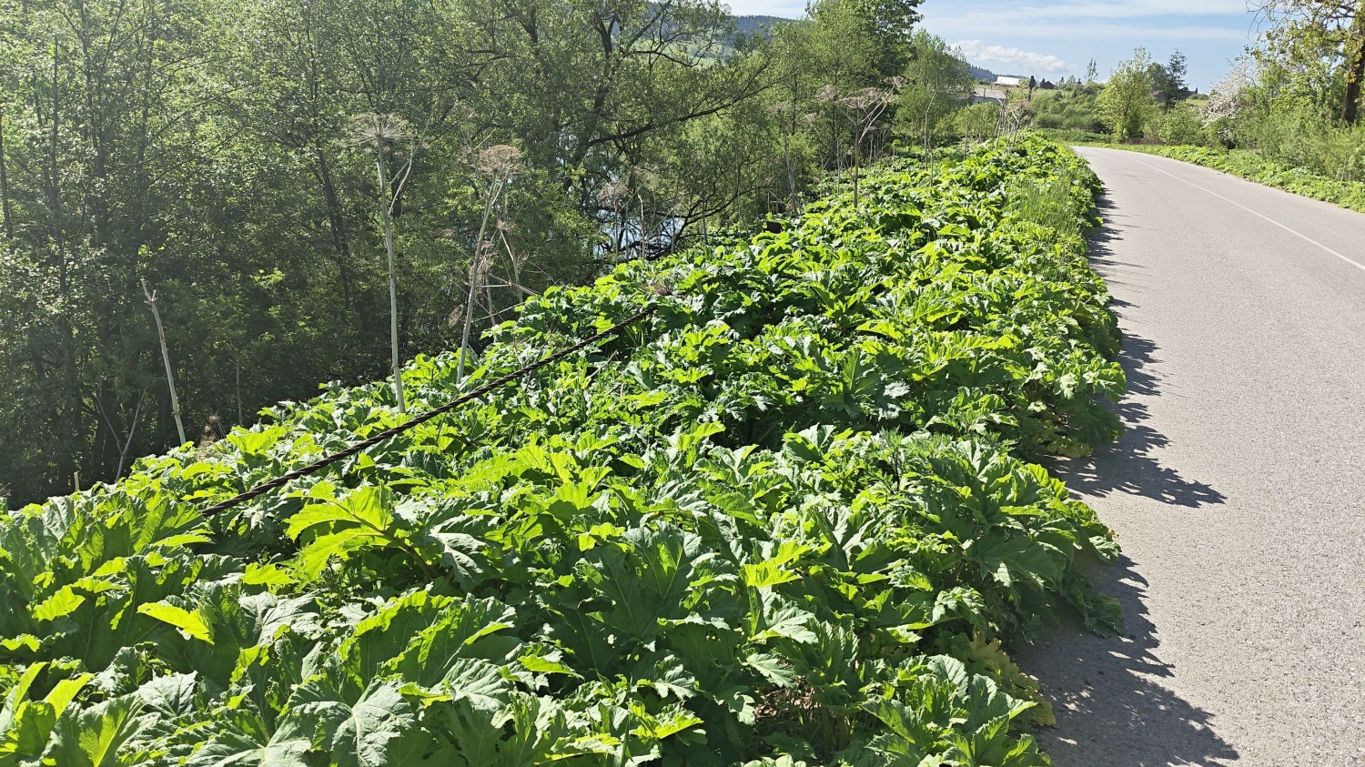
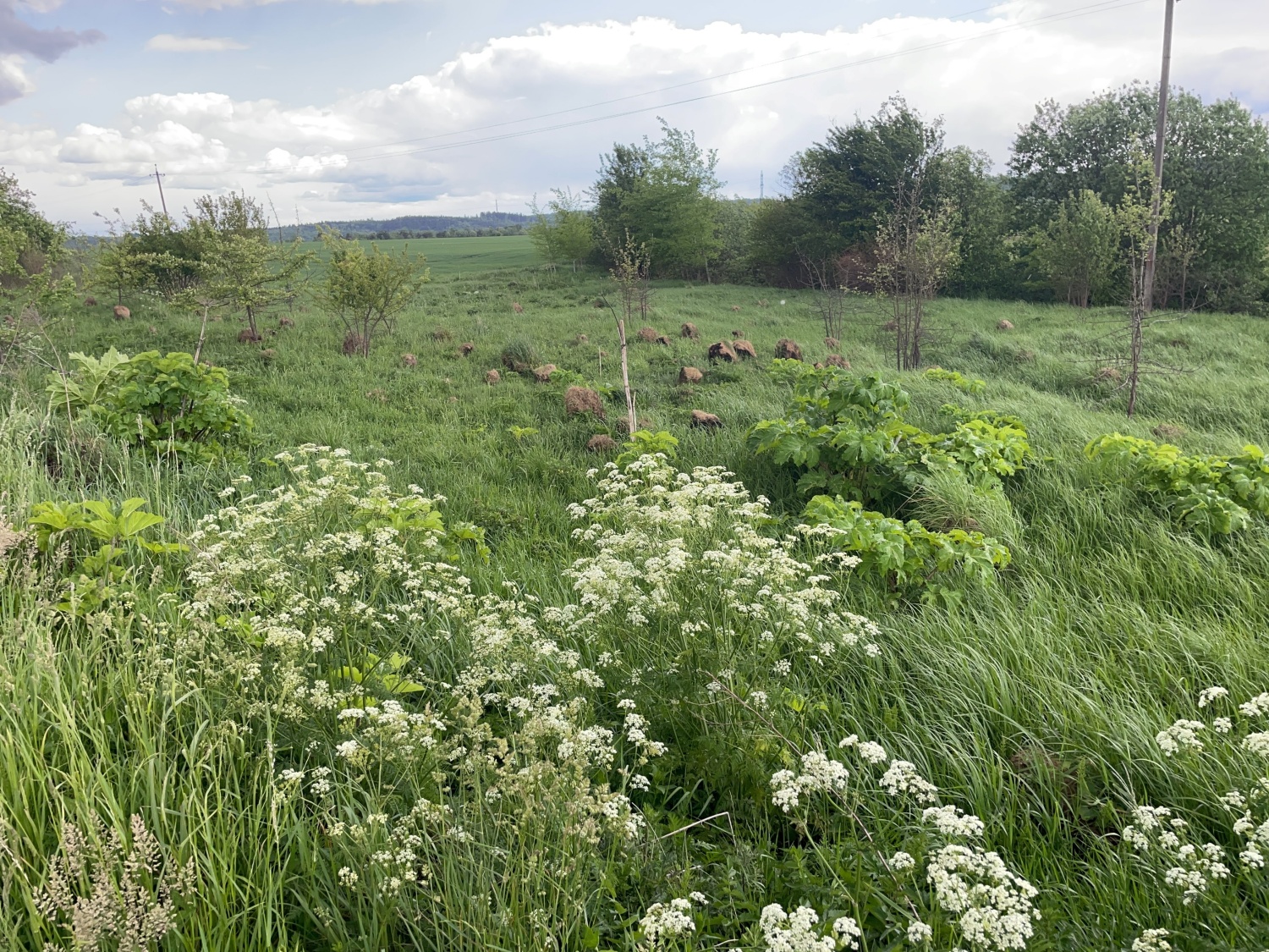
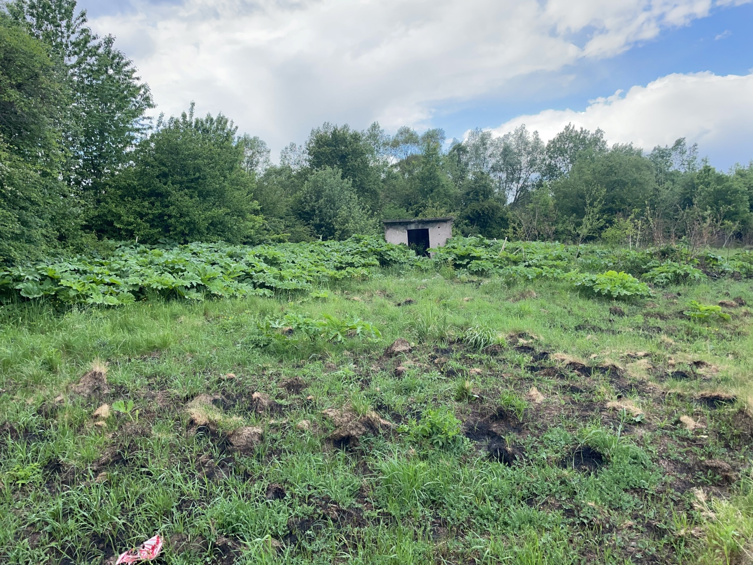
The photos show sample hogweed sites, as well as a map showing the locations entered into the database so far.
13 Akademicka Street, 20-950 Lublin
VATIN 712 010 37 75
REGON no. 000001896
ePUAP: /UP-Lublin/SkrytkaESP